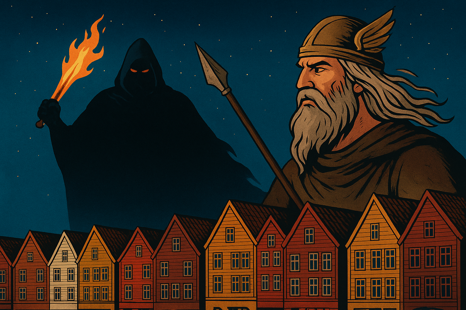
Norse Mythology: The Origins of Life – A Story to Discover in Bergen
Learn how to best prepare for your visit to our city.


Learn how to best prepare for your visit to our city.
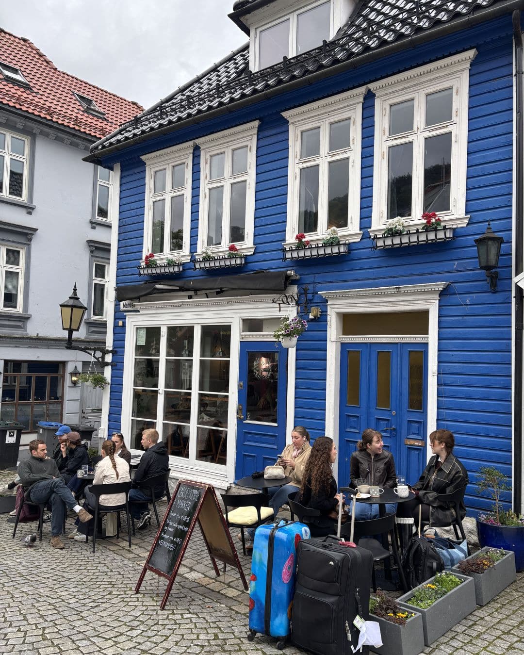
Experience Bergen’s café culture with our guide to the best cafes in Bergen. Find your new favourite spot for coffee and treats.